Rosengarten Schlern Skymarathon supports anti-trash campaign
The Rosengarten has been an UNESCO World Heritage Site since 2009, and for this reason the respectful treatment of nature is more important than sporting ambition. The Rosengarten Schlern Skymarathon supports the campaign of the Italian trail running magazine "Spirito Trail" with the name "I don't throw my trash away".
Since Edition Zero in the summer of 2016, hundreds of local and international trail runners have joined the numerous mountain hikers in the Rosengarten-Schlern massif every year on a Saturday at the middle of July.
Each participant of the Rosengarten Schlern Skymarathon brings his own drinking vessel with him, because at the aid stations along the route the drinks and food are administered loosely in order to avoid trash. The throwing away of trash is forbidden and leads to exclusion from the race. As far as environmental protection is concerned, the Organizer is working together with the South Tyrolean Nature Parks Authority.
The number of participants is limited to a maximum of 500. Food and drinks for the athletes will be brought to the aid stations in cooperation with the hut owners and not with additional trips. Helicopter flights for the race are prohibited. For the marking wooden boards and chalk spray are used and so-called broom runners collect them and leftovers.
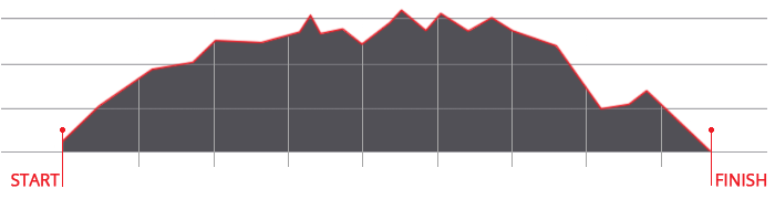
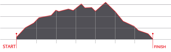
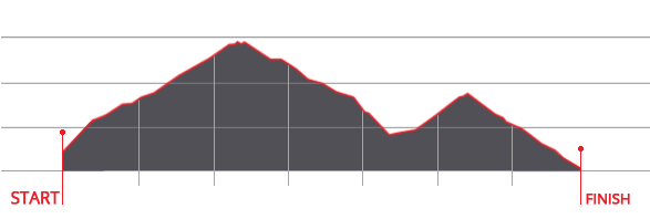
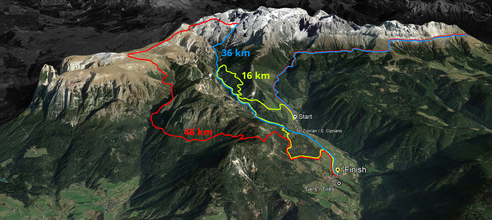
There are two routes, one long with 45 kilometres without asphalt and one short with 36 kilometres. The start is at 7 am in St. Zyprian/S. Cipriano and anyone who has not crossed the Grasleiten Pass/Passo Principe at the highest point at 2,601 metres above sea level at 12.30 pm must change to the short route and will not be counted.
All information about this trail run supported by Dynafit and registrations via Datasport by 12 July 2019 online at www.skymarathontiers.it