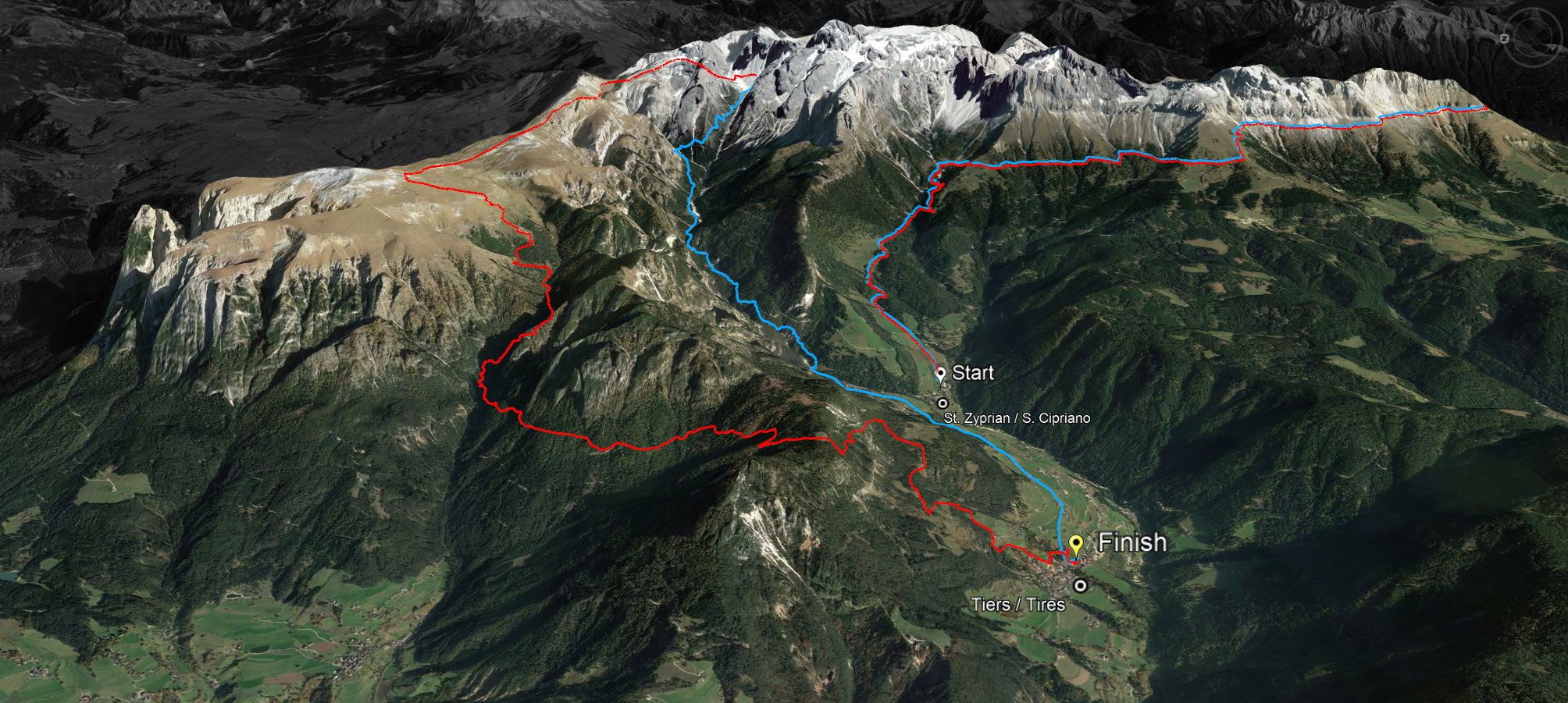
45 km
LONG ROUTE
Ascent: ca. 2.980 m
Descent: ca. 3.083 m
Download GPX-Track
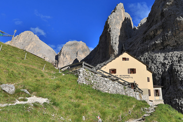
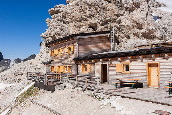
The long route of 45 kilometres with a 2,980 metre ascent and a 3,083 metre descent leads over the Cigolade Pass (variant towards Ciamedie and Gardeccia if unviable), the Passo Principe/Grasleitenpass and the Molignon Pass to the Sciliar; after the Devil's Gorge - also known as the Prügelweg – a final ascent leads up to the Tschafon before the finish line in the centre of the village of Tiers.
Due to its length and the difference in altitude it is a mountain marathon. The name "Sky Marathon" describes the length and alpine characteristics of the trail run at over 2,000 metres. 


